Biodiversity of the Western Volcanic Plains Flora and Fauna Field Guide app
Discover the unique flora and fauna of the Western Volcanic Plains and map your own sightings in the field with Ecolinc's Biodiversity of the Western Volanic Plains Flora and Fauna Field Guide app.
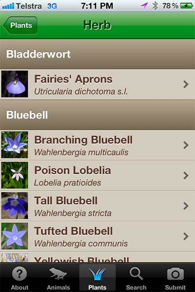
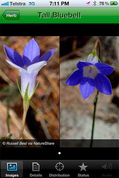
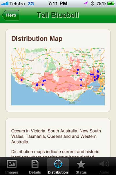
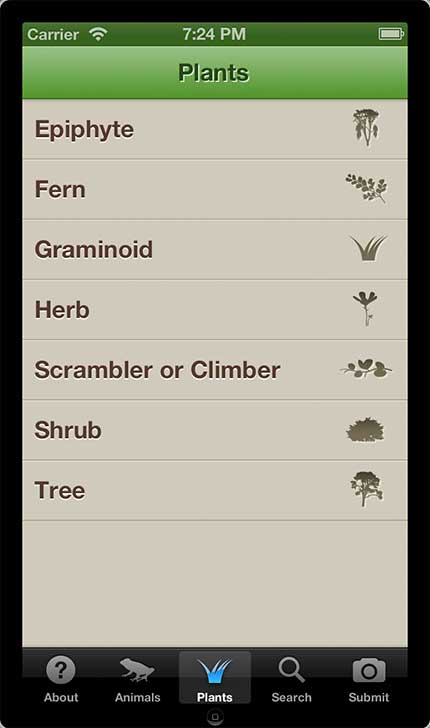
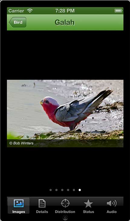
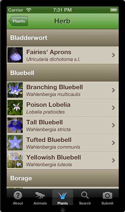
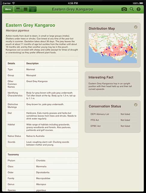
The flora and fauna of the Western Volcanic Plains, Victoria, Australia is unique with many species endemic to ecosystems within this bioregion. Over 160 animals and over 250 plant species are comprehensively described, most with multiple images taken within the natural habitat of the species. Identifying animal calls are provided with distribution maps including both past and current sightings recorded by the Atlas of Living Australia.
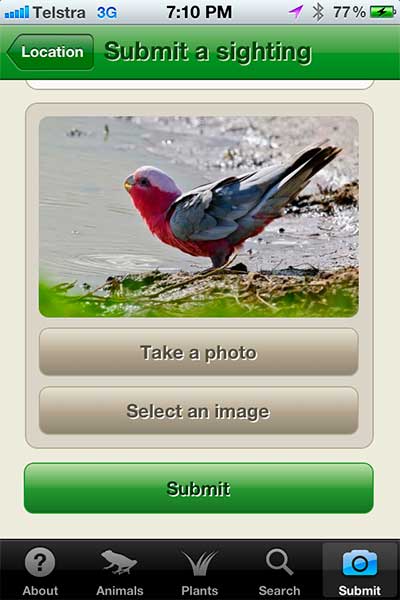
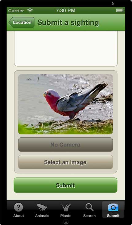
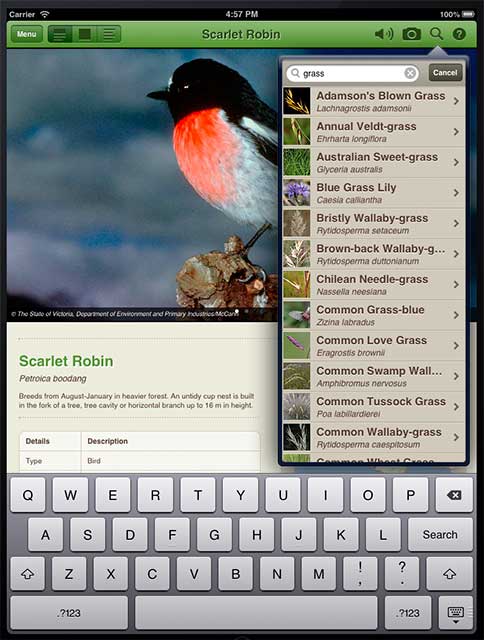
This Field Guide app provides the opportunity for users to map and upload sightings of any of the listed species within the Western Volcanic Plains, to contribute to a growing database of sightings of both common and threatened grassland species. Sightings are mapped and displayed on the Ecolinc Biodiversity of the Western Volcanic Plains website, which provides additional resources and learning objects relevant to the biodiversity of grassland ecosystems within this region, suitable for school students and community members.
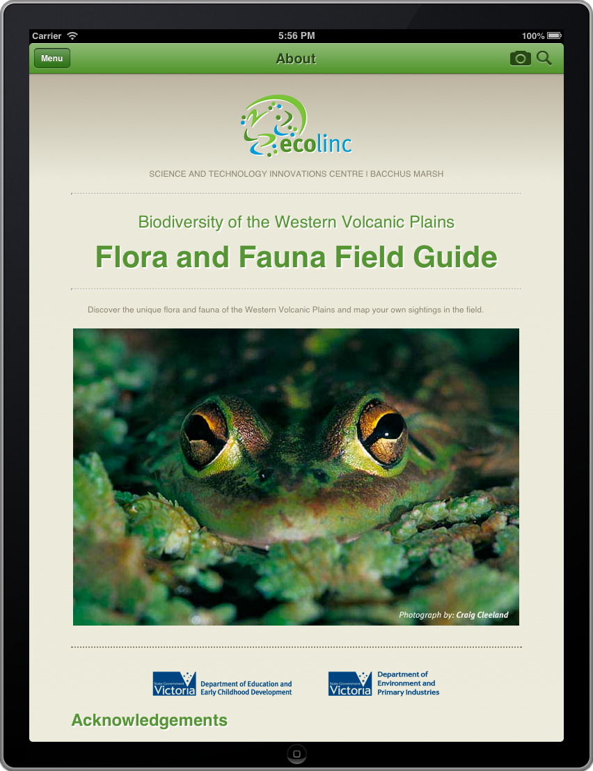
The Conservation Status of each species is listed according to the current Department of Environment and Primary Industries (DEPI) Advisory Lists, the Flora and Fauna Guarantee Act (FFG) and the Environment Protection and Biodiversity Conservation Act (EPBC). Action Statements are provided where available for a species listed as threatened under the FFG.
All plant species are listed with DEPI Life Form Groups and Life Form Codes relevant to particular Ecological Vegetation Classes (EVCs), identified within the Western Volcanic Plains. Current taxonomic details are provided for all species.
BWVP website
http://bwvp.ecolinc.vic.edu.au/
Download the app
Download iOS app on the iTunes App Store
Acknowledgements
This app was developed as a component of Ecolinc's online outreach program ‘Biodiversity of the Western Volcanic Plains’.
Funding was provided by the Department of Environment and Primary Industries (DEPI) via a ‘Vision for Werribee Plains’ grant, and from DEECD Specialist Science Centre outreach funding.
Design and development
Project Manager: Suzanne Clark
Design and Programming: CouchCreative
Species profiles were prepared by Ecolinc and Earthlines.
Photography/images and audio
Distribution maps and mapping support was made available by the Atlas of Living Australia http://www.ala.org.au/
Many photographers very generously contributed their images to this project and are acknowledged accordingly.
Murray Littlejohn very kindly provided the frog list and all of the frog calls. All other sound files were supplied by David Stewart Nature Sound http://www.naturesound.com.au/
All images and sounds are copyright of the creators.
Special Thanks
Thanks to Museum Victoria for the initial inspiration for this project.
Thanks to Neville Walsh and Jeff Jeanes from the Royal Botanic Gardens, Melbourne for their ongoing assistance and support with botanical nomenclature and taxonomy.
Thanks to the many DEPI and Parks Victoria staff who provided key information and contacts throughout the project.


